June 25, 2025
By Robert Lawrence – Advanced RPAS Pilot, High Attitude Drone Solutions, Inc.
---
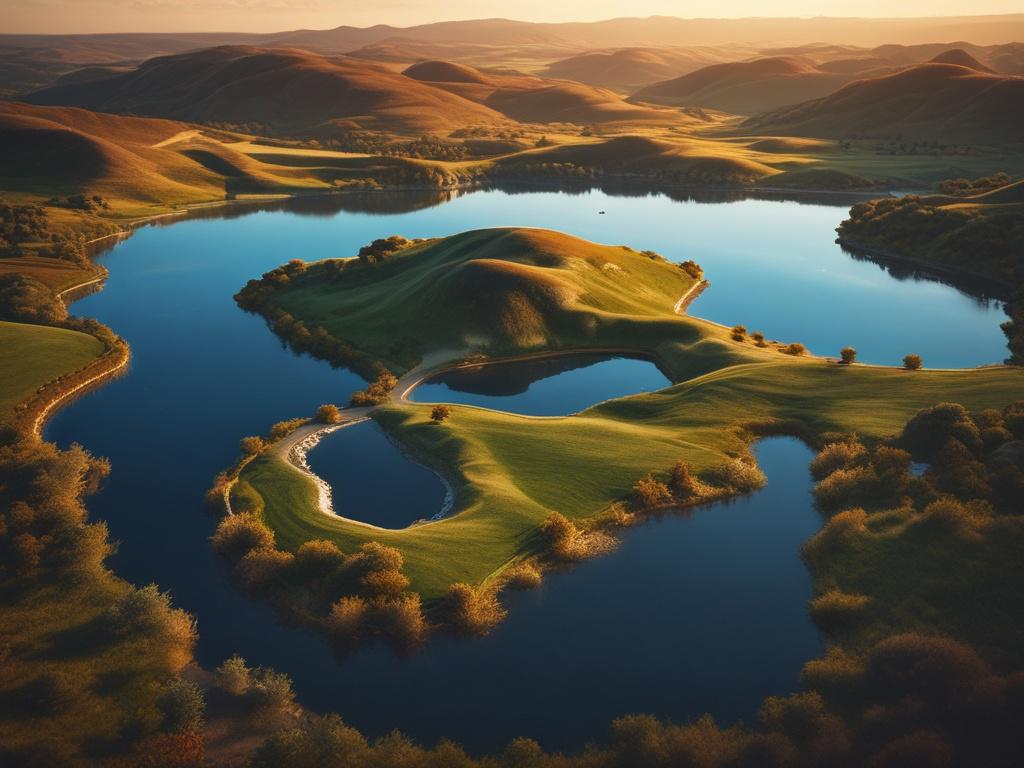
Wetlands in the Kootenays: Why They Matter
The Kootenay region is home to some of British Columbia’s most valuable wetland ecosystems. These areas provide critical habitat for wildlife, help filter water, and reduce the impacts of flooding and drought.
But monitoring and managing wetlands over time is challenging. That’s why more local conservation groups and communities are turning to **drone technology** to map and study these sensitive environments.
---
Why Use Drones for Wetland Mapping?
Drones (also called RPAS – Remotely Piloted Aircraft Systems) allow us to capture detailed imagery and elevation data safely and efficiently. Here are a few key benefits:
- Non-intrusive: Fly over fragile wetlands without damaging vegetation or disturbing wildlife.
- Accurate: Capture high-resolution imagery with GPS-tagged coordinates.
- Repeatable: Conduct seasonal surveys for monitoring changes over time.
- Efficient: Cover large areas faster than ground crews.
---
Examples of Regional Wetland Mapping
Several organizations in the Kootenays are already using drones for environmental projects. While these aren’t projects we’ve directly worked on, they highlight the growing trend of applying drone data in:
- Wetland inventory studies
- Habitat restoration planning
- Climate change monitoring
- Floodplain assessments
These projects show the value of using drone imagery to guide local decision-making and land stewardship.
---
What the Drone Mapping Process Looks Like
Here’s a quick breakdown of how wetland drone mapping typically works:
1. Flight Planning: Defining the area of interest, checking airspace, and respecting wildlife zones.
2. Aerial Capture: Flying low-altitude, overlapping passes to collect hundreds of georeferenced images.
3. Data Processing: Using tools like DJI Terra or QGIS to create orthomosaics, 3D models, and topographic layers.
4. Reporting & Sharing: Delivering usable visual data to planners, conservationists, and community groups.
---
Why This Matters in the Central Kootenays
From Kaslo to Nelson and the backcountry in between, drone mapping is helping landowners, developers, and conservation organizations make better decisions. As climate patterns shift and natural resources become more vulnerable, having accessible and accurate environmental data is crucial.
---
Looking Ahead
This post kicks off a new blog series focused on how drones are being used for mapping, monitoring, and visualization here in the Kootenays.
Future topics will include:
- Mapping forestry boundaries and slope stability
- Using drones for construction progress tracking
- FPV fly-throughs for local real estate listings
- Understanding drone data formats like DSM, DTM, and point clouds
---
Interested in learning more or booking a consultation?
📩 robert@highattitudedronesolutions.com
📞 250-353-1537
🌐 [highattitudedronesolutions.com](https://www.highattitudedronesolutions.com)
---
High Attitude Drone Solutions, Inc. proudly serves the Central Kootenays — including Meadow Creek, Kaslo, Nelson, Castlegar, and surrounding areas.