Site Measurement & Mapping
High-resolution orthomosaics, terrain surfaces, contours, and site baselines aligned to the project coordinate system.

Earthwork mapping & recurring site reporting
RTK-enabled drone mapping for excavation, aggregates, land development, and road construction—delivered as practical maps, measurements, and reports your team can use.
Project measurement & reporting
Each project starts with scope, intended use, coordinate system, control needs, and reporting cadence—then the output package is kept clear and purposeful.
High-resolution orthomosaics, terrain surfaces, contours, and site baselines aligned to the project coordinate system.
Repeatable stockpile quantities and surface-to-surface cut/fill comparisons for production tracking and project review.
Consistent aerial capture and organized reporting at milestones or recurring intervals, creating a clear record of changing site conditions.
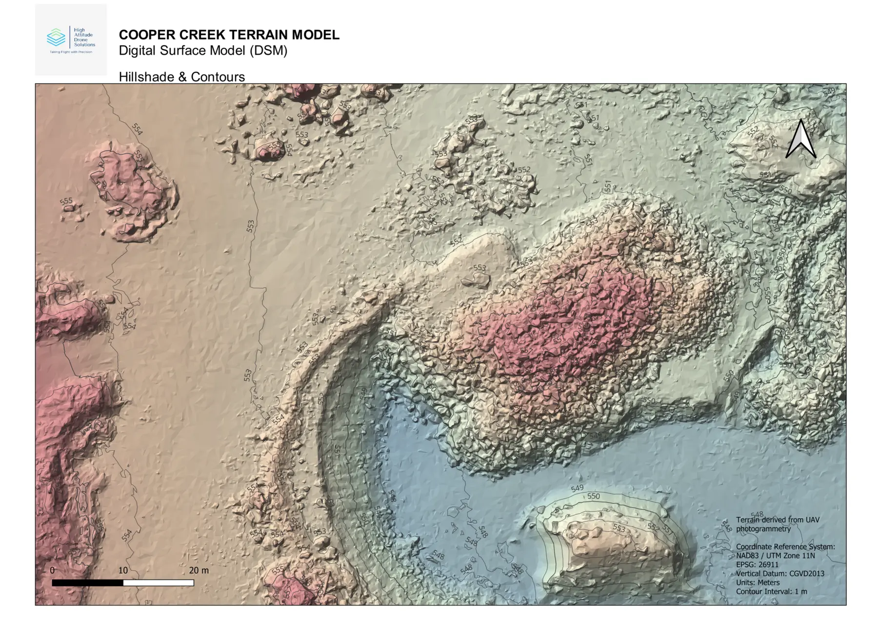
From field capture to usable information
Aerial imagery becomes measurable surfaces, quantity summaries, and client-ready maps. The result is a current site record that supports coordination, verifies change, and reduces guesswork between major survey or engineering milestones.
Project examples
Examples from rural property, community facility, aggregate, and industrial yard mapping in the Central Kootenays.
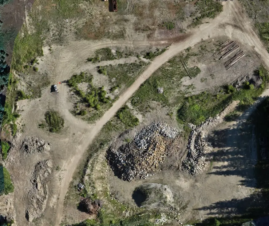
Aggregate operations
Orthomosaic, digital surface model, elevation review, and volumetric stockpile calculations for material tracking.
View case study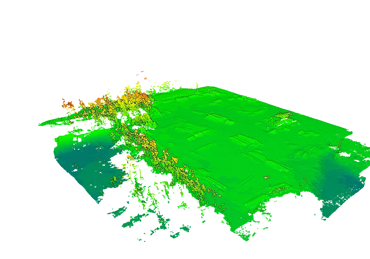
Industrial yard
Site orthomosaic, surface model, elevation profiles, and log stockpile volume reporting.
View case study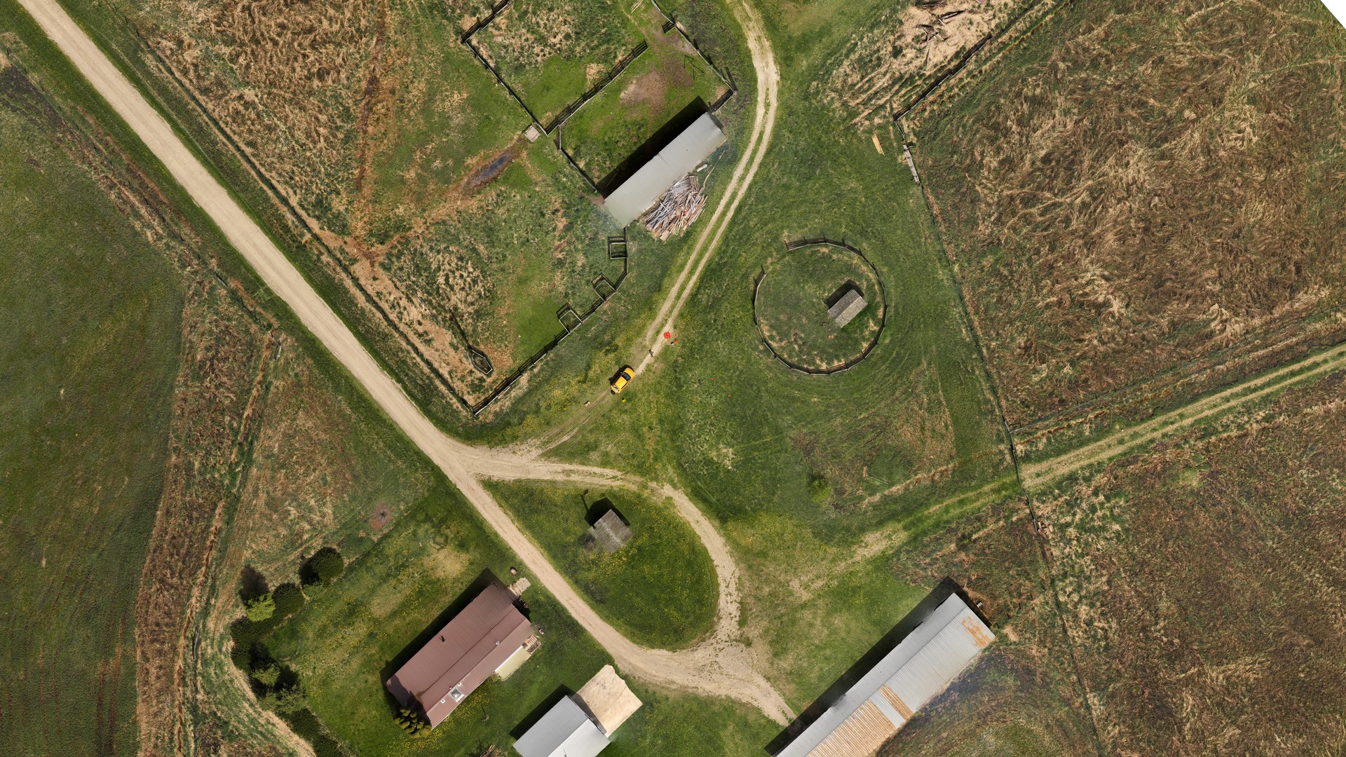
Rural property
1,687 images processed into a 0.985 km² orthomosaic, elevation models, point cloud, and textured 3D site record.
View case study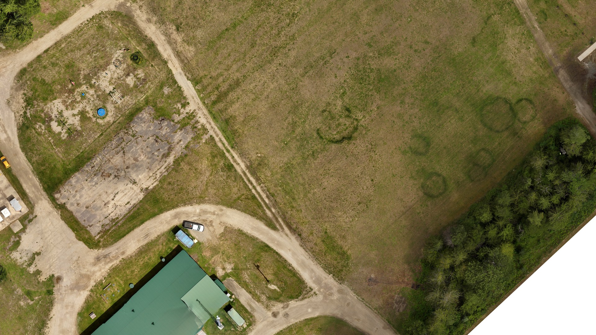
Community facility
1.7 cm ground-resolution mapping delivered as an orthomosaic, technical GeoPDF, presentation map, and aerial media.
View case studyBuilt for active sites
Have a site to measure?
Share the location, approximate area, intended use, and preferred turnaround. We will recommend a practical scope and deliverable package.
Start a project inquiry