About
Technical discipline, practical reporting, and a clear view of the site.
High Attitude Drone Solutions helps project teams turn aerial capture into dependable planning information—without making the deliverables harder to use than they need to be.
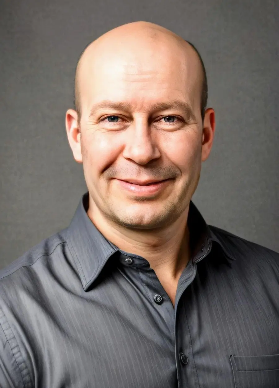
Robert Lawrence · Founder & pilot
Built around careful capture and useful outcomes.
Robert brings more than a decade of RPAS operating experience to site measurement, stockpile reporting, cut/fill comparison, topographic deliverables, and recurring project documentation.
His work focuses on a straightforward goal: understand why the information is needed, build the right capture and control plan, review the resulting surfaces carefully, and deliver a package the project team can actually use.
Based in Meadow Creek, High Attitude Drone Solutions serves the Central Kootenays, the Okanagan, and project locations across British Columbia.
How projects are approached
Accuracy is more than a number in a proposal.
A sound mapping project accounts for the intended use, coordinate system, control, site access, airspace, terrain, surface conditions, and the quality checks that happen after capture. Those decisions determine whether the final information is fit for its purpose.
Clear limits matter too. Vegetation, open water, reflective or low-texture surfaces, heavy shadow, and restricted access can affect model quality. These conditions are identified early and documented in the reporting package.