Field workflow
Collecting and correcting GCPs without NTRIP
A practical overview of collecting ground control in areas where a live correction network is unavailable.
Read the summary
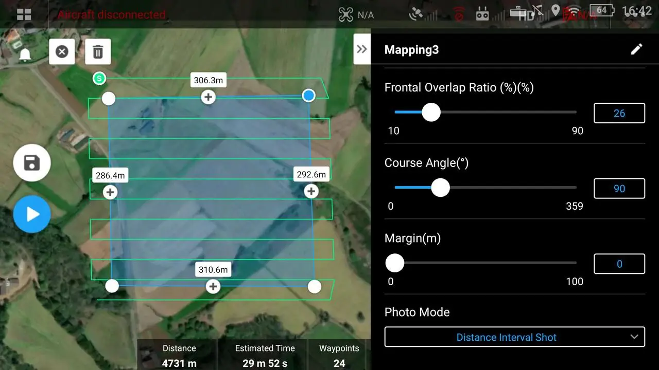
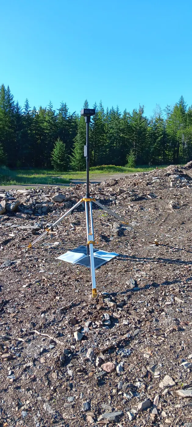
The workflow separates careful field collection from post-processing. Stable, visible control points are distributed around the project; raw GNSS observations and base data are logged; coordinates are corrected afterward; and the corrected control is then introduced to the photogrammetry project. Independent checkpoints remain important because control should be verified, not simply assumed.